What you get
We offer a full spectrum of geospatial analysis products to suit your specific needs.
Start here
Current map
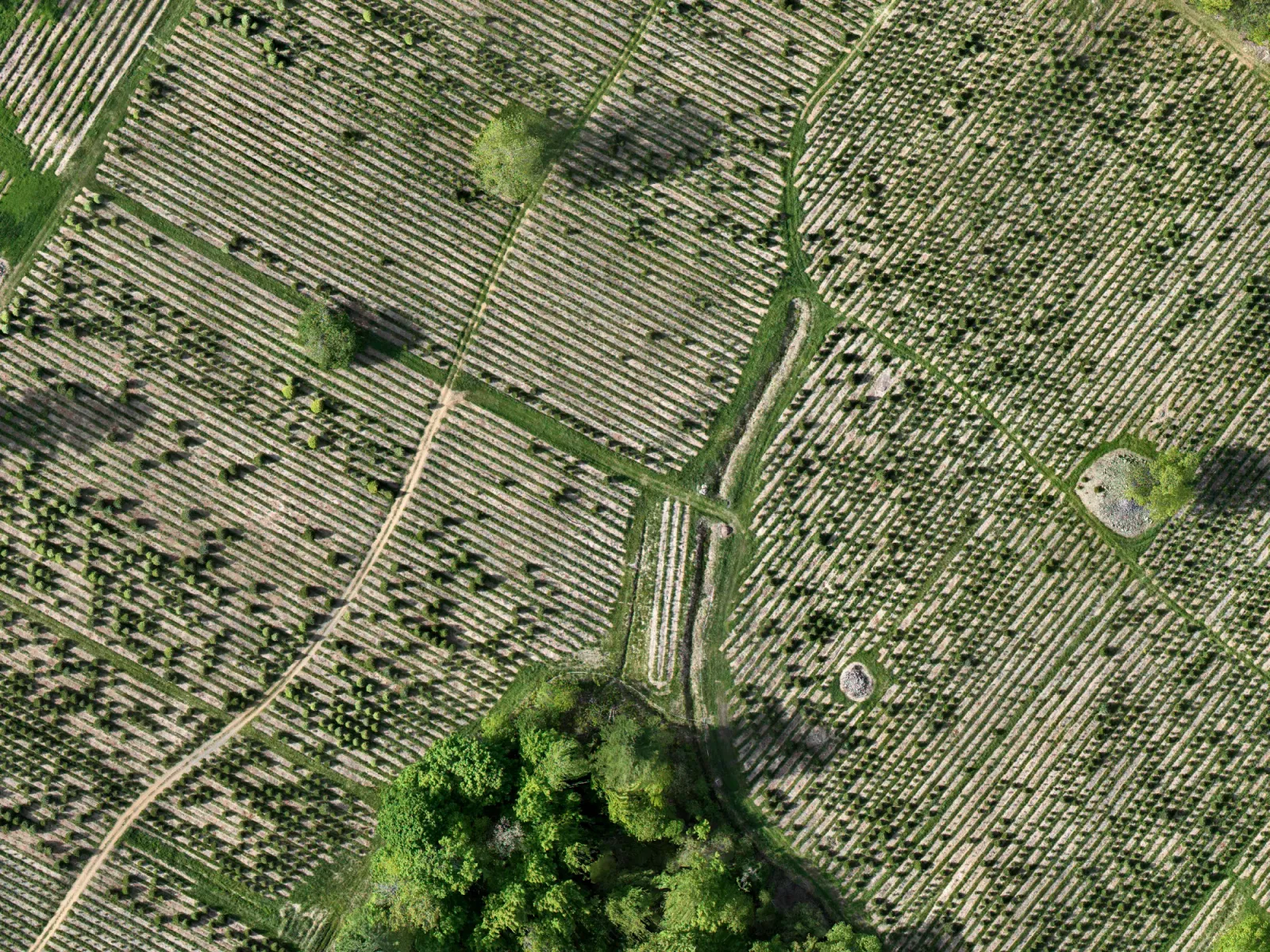
One flight produces a single sharp aerial photo of the whole farm, stitched together from hundreds of images and accurate enough to measure distances on. Most farms are working from a map that’s years out of date, or from memory.
It’s useful for more than the trees: access roads, drainage, block boundaries, and what was actually planted where. It’s the simplest thing we offer, and it’s worth having on its own.
What lands in your inbox: A full-farm aerial map, plus an elevation map showing the lay of the land.
The core of it
Tree inventory and analytics
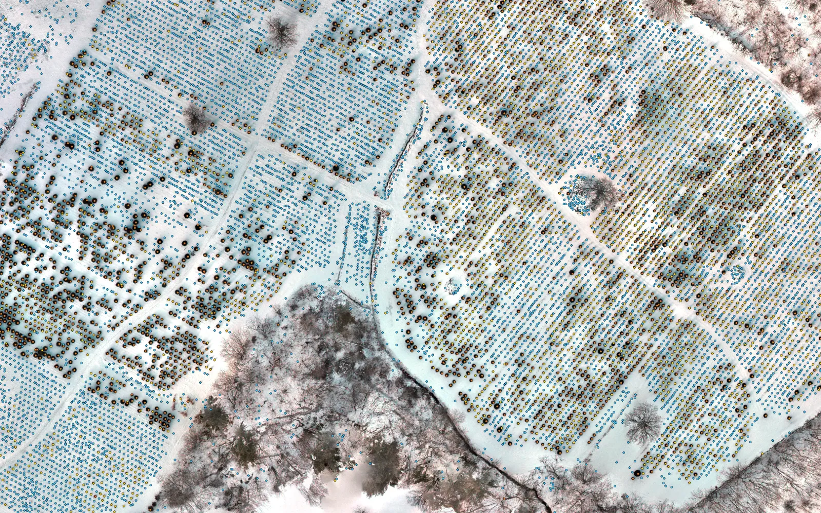
We find and measure every tree on the farm individually, rather than sampling or averaging by block. You get a total, a breakdown by size, and a map showing where each size sits.
The map also shows gaps, where a tree should be and isn’t. That’s what you need when you’re ordering replacement stock and deciding where it goes.
You also get a health map. The drone’s camera picks up light your eye can’t see, and the way a plant reflects that light says a lot about its health. We turn it into a simple color map: greener means denser, healthier growth, and pale or patchy areas are the ones to walk.
What lands in your inbox: A tree count with size breakdowns, a map with every tree marked and the gaps identified, and color health maps on the same scale every visit so you can compare one year to the next.
As far as you want to take it
Custom solution
If you have a question about your farm that no off-the-shelf tool answers, ask us. We build our own tools, so we can usually find an answer, and we’ll tell you up front whether it’s worth the cost.
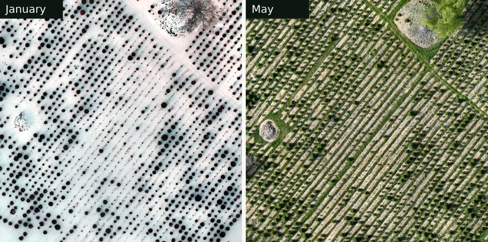
We’ve tracked changes between two visits, followed one block from season to season, and delivered numbers in a format that goes straight into a farm’s own records.
What lands in your inbox: Whatever the question needs, agreed with you before we build anything.
Your time back, and the whole farm in view
Counting a farm by hand takes days in the rows with a clicker, and it has to be done again every season. A flight takes about an hour, and nobody has to stop work while it happens.
You also get a view you can’t have from the ground. Walking the rows, you see the trees on either side of you. From above, you see every block at once: where the gaps are, where the biggest trees stand, and how one corner of the farm compares to the rest. Fly again next season and you can see what changed.
What we won’t promise
We won’t tell you that flying your farm will raise your yield by some percentage. That claim is common in this industry, and we’ve never seen anyone back it up. Measuring something doesn’t improve it by itself.
What we will give you is an accurate picture of what’s in your fields right now, and a number you can check. How you use it is up to you.
What’s coming
Our mission is to help farms like yours capitalize on the revolutions in AI, robotics, and agricultural automation that are happening now. The geospatial data artifacts and analysis we produce are the foundation for the future.
Tell us what you’d like to know.
A rough acreage and the name of your town are enough to get started.
There’s no obligation, and if a flight won’t help, we’ll tell you.